Sloviit
LOCATION
CLIMATES- NORTH-SKOGISH
- EAST-SKOGISH
- UPPER-SKOGISH
- SOUTH-SKOGISH
- WEST-SKOGISH
- CENTRAL-SKOGISH
- HIGHLANDER
- JUNGLE
- SWAMP
- WALDER
Legend
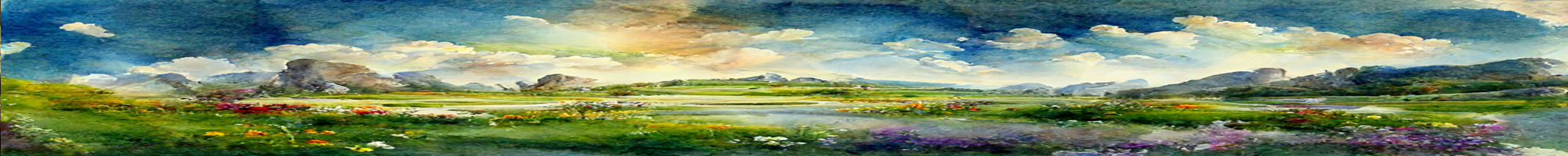
“The steppes of Sloviit, birthed the greatest of winds.”
History
When the Void Gardens that came to be Sloviit was gathered and wrapped onto our World, it was gently tied to Flaum and Fridor. Mountains was to the North, and a wide fjord stretched at the entire southern shore, from Uhmzel, through Ascal and what is now roughlands of Fril. Vast grassland of rolling hills and endless steppes, it became the home of the Tatongōl Tribes and the forests filled with N-Erectus. Then came the 1st Cataclysm.
Skjald Sigurd
Second Age
With the disaster, a mountain range grew up and isolated Fridor, but for a few passes. In the south, the entire fjord raised its bottom, and became fertile land. In time, this isolation and the growing number of Borji, resulted in a decrease of Tatongōl. But aside from that, not much changed, and when the ages changed once more, the Wanderers came in but very few numbers, and they had little impact on trade, cultures, and politics.
Skjald Vinotis
Third Age
The results of the distant Vular War, eruption of Mt. Vula, and Hymn of Truenames had a great impact on Sloviit. The borderlands to what is now Flaum, was created due several sinkings, landslides, and clefts, all forming a natural division. To the south, lands of the former fjord, bent and buckled once more and became highlands and mountains.
Skjald El Mary
Fourth Age
There was no flushing up Arisen… and only a few Lich occurred…
Only a handfull of Hordes… and few late Fang duels…
The 1st Alliance, High Kings, and The Realm… passed like wind of steppes…
But The Great Invasion, and Cleansing Crusade took their toll…
Skjald Kazumix
Cartography
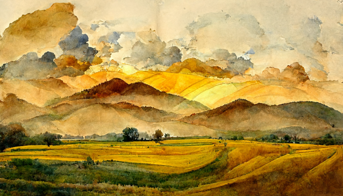
The northeast is dominated by Mt. Marstanii, Hajluma Plateau, Makloma Ridge, and Ghitur Roughlands.
The central grasslands of Fibma Steppes, Dolvu Plains, and Lolongoland, share the Rararsa Hills equally. South of Fibma Steppes, the hills known as Waraqs Wall, leads into Pongatuland. At pongatulands southwest end, lies the Hesta Heights.
West of Lolongoland lies the Kijer Hills and the Crami Heights. Fartest west, are the Fisramü Roughs, parted from Ghitur Roughlands by Rharturs Ravine.
Skjald Sejrik
Organisation
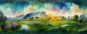
Sloviit has been divided into several self governing areas. Lolongoland is the largest, in both area and population, but its neighbours seems to be much sturdier and ignores every attack and plot.
Dolvu Plains are currently in outright war with Ghitur Roughlands, but neither are making any progress.
Skjald Ulrich
Special
Vampires are once more using their fangs… so be prepared for an embrace…
Skjald Kazumix
Last Updated on 2024-05-11 by IoM-Christian