
Utari
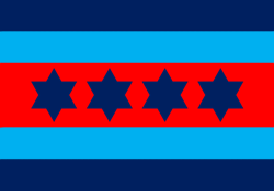
LOCATION
Countries
Races
Heroes
- GILION EWITZ
- HEBRA HARGI
- MYTH
- POLSKI
- SANG MARSOL
- SIIM SVOLLUR
- WOODMASTER
- WREKAZI
Legend
“Once home of the famous Altwalders, which are now as good as extinct.”
“Void Weaving always ran strong among those who ended up at this void garden pileup.”
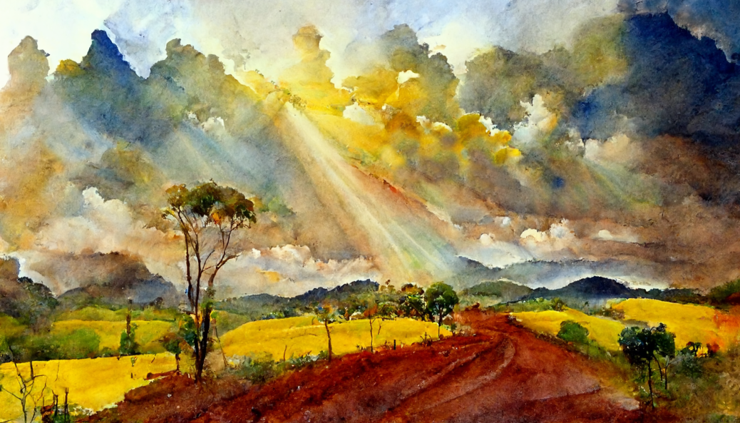
Description
History
When this Isle were formed, several Void Gardens now sunk, stretched it longer to the West and slightly North. Several races counting in thousands upon thousands, yet now barely present, had their own vast domains.
Legends tells of much trading and great caravans going from lush realm to lush realm across stoney paths. But in the 1st Cataclysm, almost all of the land and mountains between Hokul and Inosio sank into the sea.
Second AgeSeveral n-erectus settlements as such closed their gates and withdrew from interacting with humans and each other. As centuries passed these realms became all but bedtime stories, or the entertainment stories of travelling bards. Generally magic misled those come seeking or stumbling upon entries by accident, but at times the lone wanderer or party was elliminated, or becoming guests, kept for lifetime to secure the realms.
Legends and myths of the hidden folks, became the web that tied the interactive tribes together, and what kept streets, roads, and paths, empty at night. That is of course merely those too scared to embrace the moontime, as there was as much going on at night as at day. Although the altered climate did in fact rub peoples minds.
It was as if the mindset of most Races changed somewhat with the shaping of the world and further with the 1st Cataclysm. Through time, the inhabitants of south-western Utari fended off countless raids from Naldar pirates. Remas, and Hokul, even saw a couple of raids by Invaders, from the Outlands. And as the Sun began to dry the lands out, famine struk.
The eastern countries of Bilza and Omoas, on the other hand, traded heavily with Tribes from Findon and Midgard. Thus, these areas grew far richer than most Utari, and the difference in the living standards of rural people was clearly visible.
Skjald Sejrik
Third Age
When the Jomzaar’s grand sailships came to Utaris coasts many indigenous welcomed them with open arms. This two-year advance they had before the Vular began appearing this far north-west gave them a strong advantage above the other Wanderers. But as they both brought along and lived the Wanderer-conflict, tensions with locals began to grow. Wanderer forts was built all over, and the wanderer/indigenous couples began to face harassments.
As the Vular and Jomzaar conflict sharpened, and tensions with the indigenous grew. The siblings of mixed couples began to huddle up in their own settlements, and as the Mermerant they found room for growth.
Skjald Valgrif
Fourth Age
Old shamans threw themself at the ground, danced the best praises they knew, and many a sacrifice was given. When the south-eastern skies flickered with coloured lights, darkened, and then the earth shook as in ancient stories. And then the tainted waters came, not as a tsunami like at Markeoy, but the wave was measurable enough. But its flooding effect a true horror, as scores of previously dead rose anew. And as if these animated corpses was not enough, power hungry loonatics tampered with the tainted liquid and some became liches.
N-erectus withdrawing the more, wanderers isolating as well, and most indigenous worried about the Arisen. The Mermerant grew strong alongside the Hordes, as both supported each other as they toppled the order of old. But during the short reign of the realms high kings, all seemed to get along and open their settlements to others once more.
Due to invasions, raids, and struggles for survival due to poverty or internal strife, people were not immune to violence and the use of fists and blades. Which, for the tribes of Utari, is a good thing, as it insured its independence from any foreign control, up until they saw the value in The Realm and joined it. The peace it brought finally lifted the general wealth and living conditions for all to the living standard of Bilza.
It even led to members of N-Erectus being seen travelling the paths, roads, and town streets more often. And these new bonds proved invaluable handling with the Great Invasion, and carrying out the Cleansing Crusade.
Skjald Sigurd
Cartography

Organisation
Even after The Great Invasion, the island still consists of eight Countries, but these are currently all split into several tribes and Organisations grasping for land, cities, and population to tax. It’s such a mess that we can’t describe it with proper accuracy.
Skjald Vinotis
Special
Only World location… where Altwalders breathe…
Skjald Kazumix
Last Updated on 2026-03-17 by IoM-Christian