Fridor

LOCATION
CLIMATES- NORTH-SKOGISH
- EAST-SKOGISH
- UPPER-SKOGISH
- SOUTH-SKOGISH
- WEST-SKOGISH
- CENTRAL-SKOGISH
- HIGHLANDER
- JUNGLE
- SWAMP
- WALDER
Legend
“Cradle of an Astral tamer, father of chaotic born.”
History
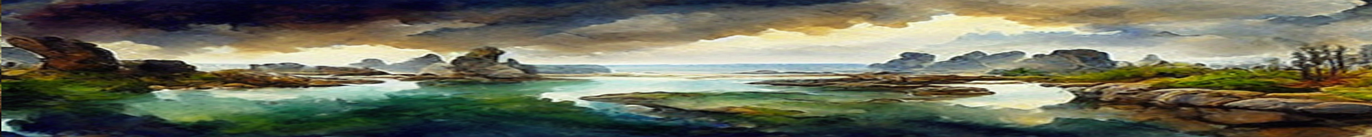
Fridor was thrice its width when laid onto the World, and inhabited with many Races. Fertile soil, vast forests, soft rolling hills, and a plentitude of lakes and rivers, made a good living place for the Tribes of all the races. Farmers, and Crafters alike, grew in Skills, and Settlements grew in size and complexity. Up until one day, when the Divine Races warred over Vampire matters. Such was the conflict, that the world reshaped
Skjald El Mary
Second Age
At least two thirds of Fridor sank beneath the sea, and suddenly slightly warmer Climates was in the North, meanwhile colder climates was to the south. Stories goes that Hunters could track wildlife going directly towards their preferred. So over a period, game altered in Fridors regions.
When people had recovered from the 1st Cataclysm, they constructed Towns, Cities, castles, roads, and other infrastructures, to accomodate the changed lands and climates. Thus, in the centuries that followed populations thrived, trade grew, and mechanisation made many things easier.
Alongside the developing Skills of most Professions, Mana Manipulators developed Magic Paths and created Academies. In which secure teaching of the gifted ones, from apprentices to journeymen, occurred in safe enviroments.
Slowly social classes formed, eventually becoming set in stone, making it hard for a workers child to climb ranks, and join the upper circles. Luckily many successfull Guilds had their eyes on talents as soon as discovered. So even though it was a hard journey, it was possible, if only one dared display skills or gifts.
Seen before, although rarely, was the Merchants and Sailors from down South of The Rim. But suddenly their arriving numbers grew, and them came not to trade, but to settle. Thus they where named Wanderers, and even the lowest flocked to the docks, or town centre, to view these massive muscle mountains unload or pass by. Eventually the wanderers would change the entire world.
Skjald Sejrik
Third Age
As the wanderers flooded the lands, the Indigenous was reluctant to give them space, or accepting their arrival. This resulted in fights and raids, the fame of the wanderers far more than of the natives. Thus wanderers gained footholds at places defeated, even some ancient culture-sites. Some of these are even the reason for conflicts of today.
The Vular and Rimzir never made any large settlements in Fridor, but Jomzaar had quite a number spread all over. Thus the peoples of Fridor was blisfully unaware of the Vular tension growing at Ljostari. But when it sank, they felt it.
Skjald Yell'a'Beard
Fourth Age
What an age, starting with the Mt. Vula eruption, the Deep Blue Tsunami, Arisen, Liches, Age of Hordes, 1st Alliance, High Kings, The Realm, and The Great Invasion. People saw gains disseapear, prosper once more, and loose things once more.
Now they hope that The Scorched Dawn will bring peace once more.
Skjald Valgrif
Cartography
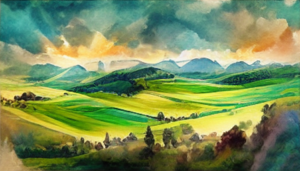
Generally its vast grasslands with huge cerds, farmlands with a varity of crops, forests used for lumbering, roughlands with Fruit plantages and herds of Sheep and Goat. Foothills and mountains with plenty Quarries and Mines. As well as a rather heavily fortified coastline due Naldar Pirates.
To the North lies Sandurs Wall a long mountain chain, flattening out into roughlands giving easy passage to two Countries to the East. These roughlands floats out into Kadelmu Lowlands and Larama Heights. South of these lies Emmis Pass and Kyroza Ridge.
West of Kadelmu Lowlands a vast area of vineyards stretches all up and across Sweanka Tops. From there and to the coast its more grasslands for easily moved herds than lands of Fruit and crops.
Skjald Vinotis
Organisation
A plentitude of nobility are struggling to see whos colours will sway over a united Fridor.
Skjald Sigurd
Special
Quite a large amount of Combat Herbs… can be found in Fridor…
Skjald Kazumix
Last Updated on 2026-06-27 by IoM-Christian